Adaptive Crisis Response Built for Every Season

Agencies need a coordination framework that changes with the incident. In summer wildfires or winter floods, Ladangspace gives command teams one shared operating picture.

Can your current system adapt as fast as the weather changes?

Explore Platform Elements
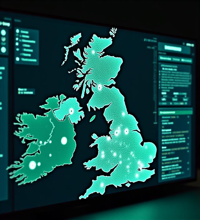
Real-time crisis coordination display showing a map of the United Kingdom and Ireland

Real-Time Threat Synchronisation

Coordination is a shared picture, not a pile of separate feeds. The core engine brings telemetry from environmental agencies into the command centre your duty officers already use.

Response paths inside the platform are measured in milliseconds, so the team sees the same change at the same moment. Static plans stay on file. Live decisions run on the current picture.

Agency Link

Secure peer-to-peer mesh links for UK emergency response units that need to stay in contact when a regional network is strained.

Adaptive Planning

Modules switch a desk from drought management to coastal flood alert status without rebuilding the operating picture.

Edge Logic

Local processing keeps coordination running when cellular backhaul drops. Field nodes keep the last confirmed plan and keep sharing locally.

"Why did we choose Ladangspace? Because they understood that a wildfire in the Peaks requires a completely different logistical DNA than a tidal surge in Kent. We've seen a 22% reduction in fleet deployment times since activating the adaptive modules."

Aleksi Shillings Regional Lead, UK Emergency Response Coordination